Gunung Leuser National Park (GLNP), located in northern Sumatra, Indonesia, spans approximately 7,927 km² and straddles the provinces of Aceh and North Sumatra. The park is a significant component of the UNESCO-listed Tropical Rainforest Heritage of Sumatra. Taman Nasional Gunung Leuser (Gunung Leuser National Park) is one of the largest national parks in Southeast Asia and a crucial part of the Tropical Rainforest Heritage of Sumatra, a UNESCO World Heritage Site.
📏 Size
Total area: Approximately 7,927 square kilometers (3,060 square miles).
This includes areas in Aceh and North Sumatra provinces, spanning rugged mountains, lowland forests, rivers, and swamps.
🌿 Highlights
One of the last places on Earth where Sumatran orangutans, tigers, rhinos, and elephants coexist in the wild.
Contains rich biodiversity, with thousands of plant and animal species.
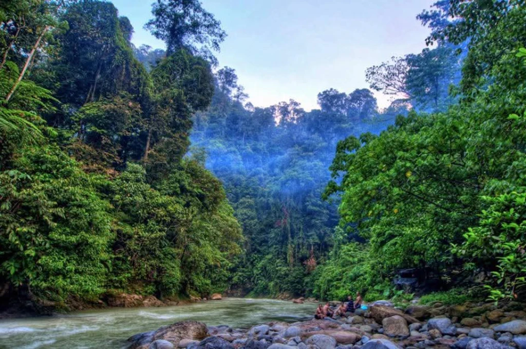
Popular for ecotourism, trekking, and wildlife viewing, especially near Bukit Lawang and Ketambe.
🗺️ Geographic Boundaries
Latitude Range: Approximately 3°45'31.4" N
Longitude Range: Approximately 97°10'27.25" E
UTM Coordinates (Zone 47N):
Northing: From 324,874.0208 m to 447,362.3182 m
Easting: From 269,225.4979 m to 445,083.1409 m
These coordinates outline the park's expanse, which includes diverse ecosystems ranging from coastal lowlands to mountainous regions.
🧭 Notable Locations Within the Park
Mount Leuser: The park's namesake, rising to 3,119 meters, is one of the highest peaks in the region.
Bukit Lawang: A well-known area within the park, famous for its orangutan rehabilitation center.
Batu Katak: Located in the Bahorok District, this area serves as a green buffer zone on the park's border and is home to diverse wildlife, including orangutans, gibbons, and hornbills.
🗺️ Accessing Detailed Maps
For a comprehensive view of Gunung Leuser National Park's boundaries and topography, you can refer to the following resources:
UNESCO World Heritage Centre Map: Provides detailed maps of the Tropical Rainforest Heritage of Sumatra, including GLNP.
Protected Planet: Offers interactive maps and data on protected areas worldwide, including GLNP.